At AxisTech, we’re here to support agrifood businesses in navigating climate and economic variability. Since 2017, we’ve been dedicated to helping farmers and agribusinesses improve sustainability, productivity, and profitability with practical, effective technology.
We’re committed to providing the tools and support you need to get the most out of your data, tackle industry challenges, and build a sustainable future in agriculture.
Our solutions include:
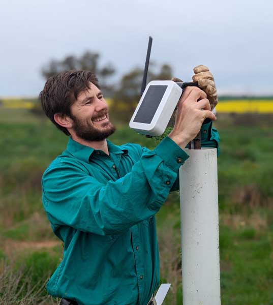
Locally Manufactured IoT Devices – Reliable devices, for monitoring weather, water, soil and more.
FarmMap4D – GIS mapping to help you understand and manage your land and resources.
AxisStream Platform – A single point of truth that centralises data, providing insights and supporting informed decisions.
Emissions Management – Tools to track and manage emissions supporting your sustainability goals