Property Mapping

Image

Mapping Services​

AxisTech’s flagship mapping platform, FarmMap4D, is designed for digitally mapping and managing livestock, broadacre and intensive agriculture farm properties. It stands out as one of the leading farm mapping solutions due to its user-driven design, ensuring practical functionality tailored to real-world farming needs. ​
FarmMap4D creates a digital twin of farm properties, supporting advanced remote sensing services like satellite-based farm analysis. In addition to individual farm mapping, we offer the Regional Reporting Tool, a multi-farm GIS mapping service designed for semi-government and commercial stakeholders seeking to monitor extensive land holdings.​

GIS Mapping ​

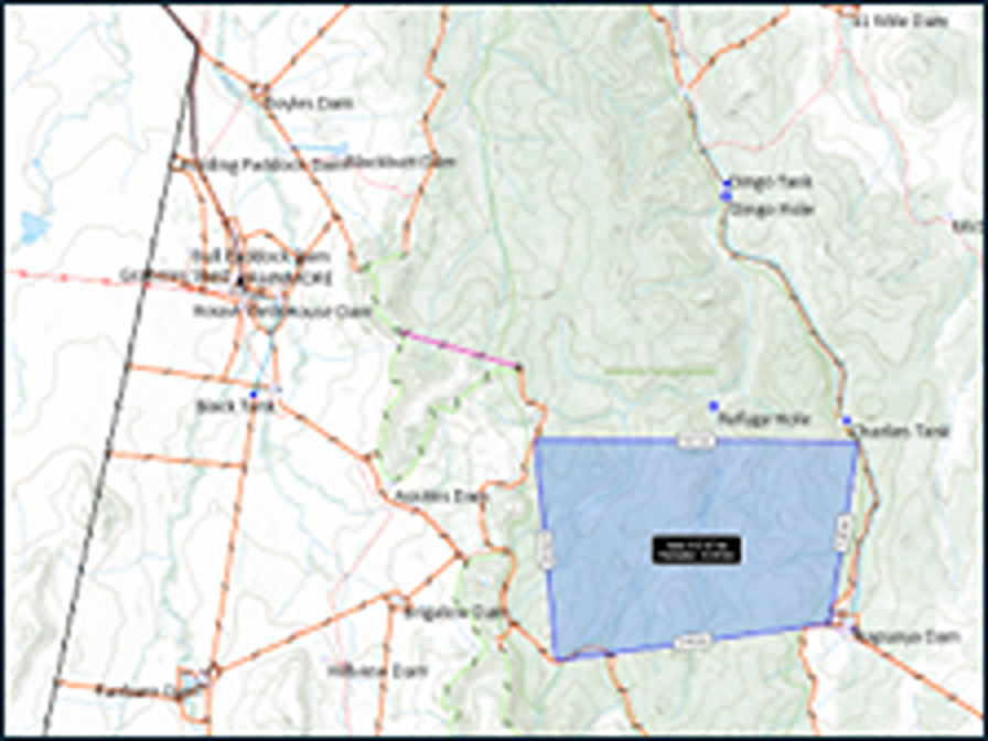
Our Geographic Information System (GIS) mapping service enables landowners and managers to digitally map farms and associated assets on a user-friendly platform. This digital twin simplifies planning for capital expenditures and maintenance projects before implementation. ​
Using high-resolution satellite imagery, the platform identifies and maps assets such as fences, water tanks, sheds, and homesteads. Each asset is tagged with essential details like type, build date, capacity, and notes, creating a searchable, exportable asset register. Additionally, the platform’s elevation analysis helps determine optimal layouts for infrastructure like fence lines, water pipelines, pumps, and tanks.​
Image
Image

Remote Sensing Analysis​

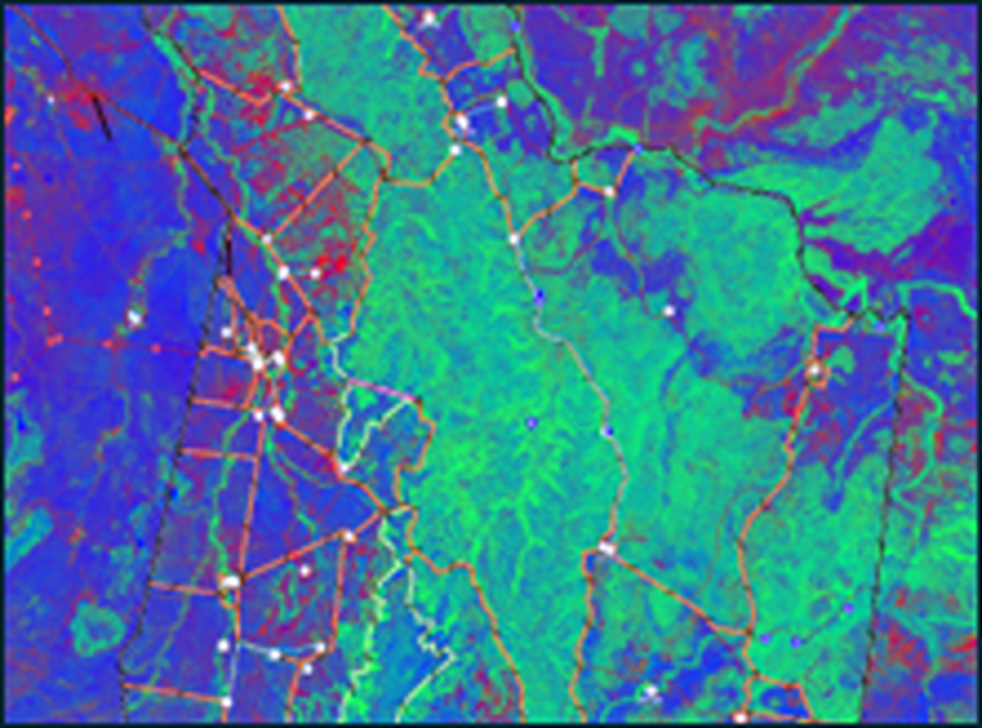
With a digital farm map and defined paddocks, we apply vegetation and water-based satellite imagery to assess farm health. This analysis supports better understanding of pasture growth potential, long-term carrying capacity, and the effects of environmental events like fires and droughts. ​

Our remote sensing tools enable historical and comparative analysis by applying long-term satellite data to farms, helping land managers gauge farm performance against neighbouring or similar land areas. This data-driven approach empowers informed decision-making for sustainable farm management.​

Cropping Mapping

AxisStream maps cropping and machinery data with pixel-level precision and aligning them to a consistent geospatial resolution to ensure that all data layers perfectly match at the cropping management unit level (between 10 and 16 m pixel area). Our platform supports data from multiple sources and file formats, ranging from paper records to complex georeferenced machinery logs. Our team provides expert support in data ingestion, structuring, analysis to generate and visualise new insights, all designed with an optimal user experience in mind. This enables a deeper understanding of agronomic and operational constraints, allows for side-by-side comparisons between paddocks, seasons and activities, expresses field variability with color-coded maps and legends, and integrates multiple information layers, making it easy to extract real value out of existing data effectively.

Image