Farm Mapping: Seeing the Whole Story Before You Start
Farm mapping has always been about clarity – understanding your country, seeing the challenges before they hit you and unlocking opportunities that were once invisible from the ground.
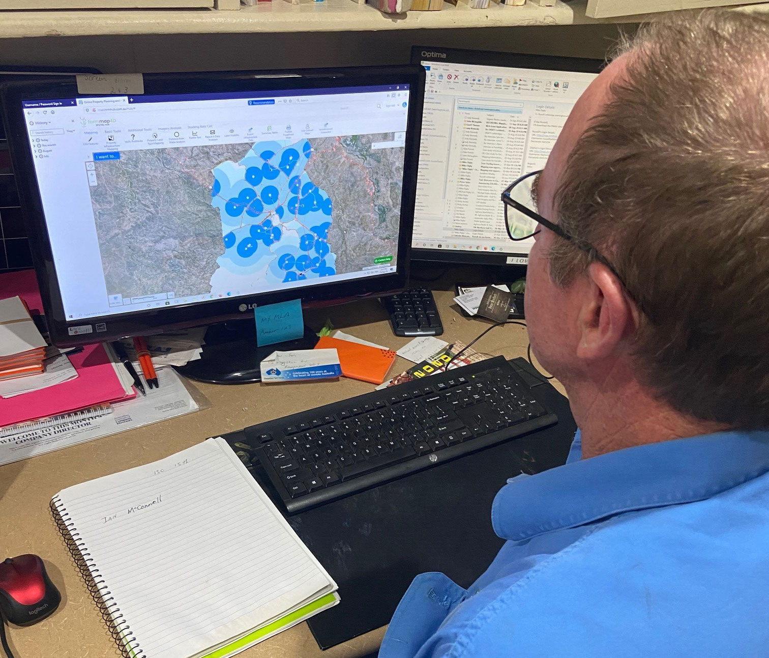
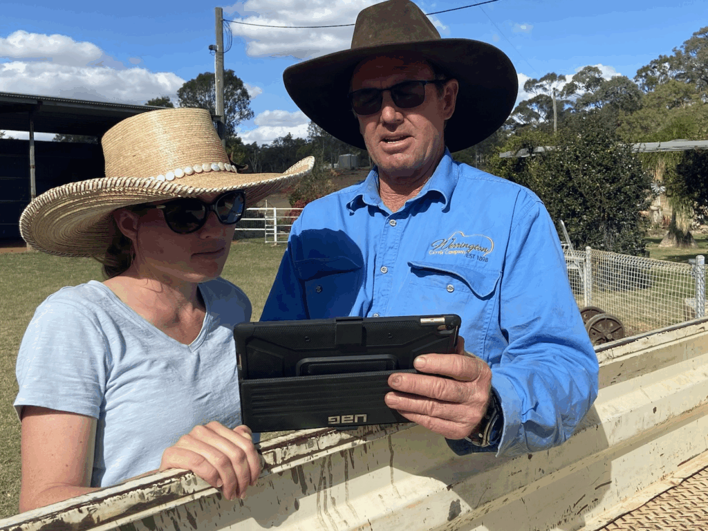
For Far North Queensland cattleman Russell Lethbridge and his family, FarmMap4D is exactly that: a way to visualise an entire property in minutes and make confident, well-informed decisions that drive production and profitability.
“The first thing we do when we’re developing a new property or looking to site a fenceline or pipeline or compare ground cover over time is jump on the map… you can see it all in front of you.”
FarmMap4D has been part of the Lethbridge family’s story for decades. He remembers what a revelation it was to be able to measure exactly how big the paddocks were on 22,300 hectare ‘Werrington’ at Einasleigh, when the Lethbridges were first involved in developing the precursor to FarmMap4D in the early 2000s.
This clarity became a turning point for grazing management, nutrition planning and the family’s long-term development strategy across Werrington, Rainmore and Amber Station.
Mapping That Transforms Development Decisions
Russell explains that what once took weeks on a motorbike with a GPS can now be done in hours from the office:
- measuring grazeable areas
- planning fencelines and water points
- modelling pipelines and pump head
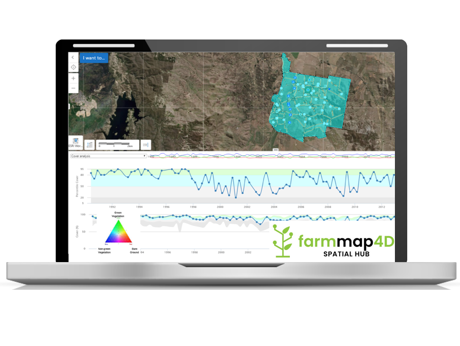
- analysing ground and tree cover change
- testing development scenarios such as improved carrying capacity
When the family purchased ‘Amber Station’ – an additional 102,000ha – farm mapping was the very first step. Infrastructure was mapped, water points circled, and the team immediately understood how to increase utilisation and unlock additional cattle capacity.
“If we do this and this, there’s another 1000 head we can run.”
For large, undulating properties, mapping accuracy is crucial. When you are planning a 6km poly pipeline, FarmMap4D calculates the contours, head pressure, and pump requirements – saving time, cost and guesswork.
Better Data, Better Decisions
Across the Lethbridge family’s operations, mapping underpins:
- breeder nutrition and fertility strategies
- stocking rate decisions based on carrying capacity
- infrastructure cost planning
- pasture utilisation
- long-term sustainability and resilience
Pregnancy rates, pasture performance and development ROI all tie back to good mapping.
Russell calls FarmMap4D a game changer:
“If we fail to use and embrace innovation there is no way we’ll keep pace with our competitors… Once you have a play with FarmMap4D, that’s when you’ll think, what CAN’T it do?”
Mapping is More Than a Map - It Is a Planning Superpower
As part of the AxisTech group, FarmMap4D continues to evolve with producers at the centre. It is a tool built on real-world challenges, designed to save time, reduce risk and deliver clarity when it matters most.