Mapping Services
GIS Mapping
Remote Sensing Analysis
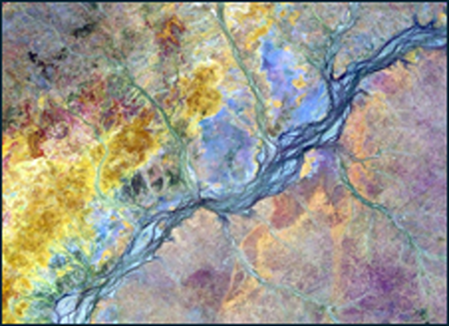
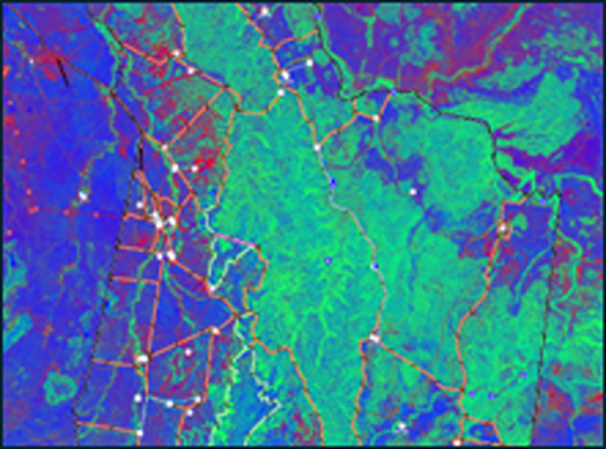
With a digital farm map and defined paddocks, we apply vegetation and water-based satellite imagery to assess farm health. This analysis supports better understanding of pasture growth potential, long-term carrying capacity, and the effects of environmental events like fires and droughts.
Cropping Mapping
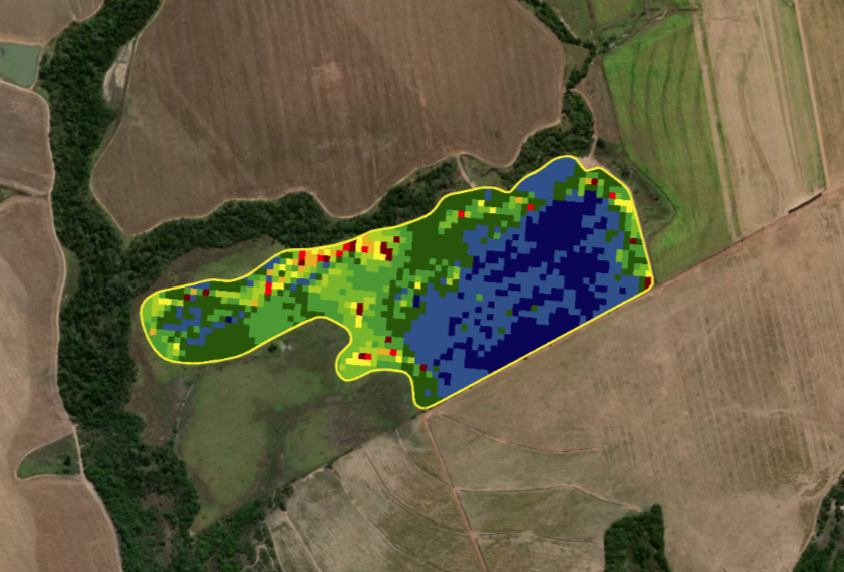
AxisStream maps cropping and machinery data with pixel-level precision and aligning them to a consistent geospatial resolution to ensure that all data layers perfectly match at the cropping management unit level (between 10 and 16 m pixel area). Our platform supports data from multiple sources and file formats, ranging from paper records to complex georeferenced machinery logs. Our team provides expert support in data ingestion, structuring, analysis to generate and visualise new insights, all designed with an optimal user experience in mind. This enables a deeper understanding of agronomic and operational constraints, allows for side-by-side comparisons between paddocks, seasons and activities, expresses field variability with color-coded maps and legends, and integrates multiple information layers, making it easy to extract real value out of existing data effectively.