
FarmMap4D upgraded
Property mapping and planning within AxisStream
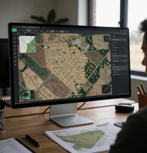
FarmMap4D is now available within AxisStream, bringing its property mapping and planning tools into the platform alongside a range of upgrades to support everyday farm management.
New Platform Features & Enhancements
- AxisStream Integration – Access FarmMap4D alongside weather monitoring, forecasting, IoT device data and other farm management applications.
- Seasonal Grazing Analysis – Enhanced Grazing Circles tool with 12-month modelling of seasonal water availability and livestock grazing access.
- Long-Term Carrying Capacity – Estimate livestock carrying capacity based on paddock size, land type and access to water. Model changes in infrastructure and grazing arrangements.
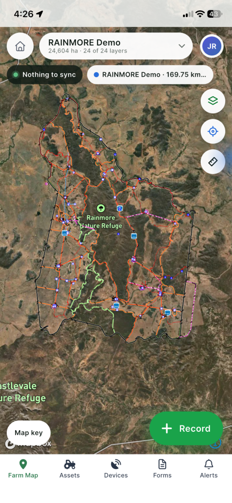
- Offline GPS Mapping – Navigate property maps, track GPS movements, measure distances and areas, and record georeferenced photos and field observations without mobile coverage.
- Enhanced Paddock Mapping – Simplified paddock creation and editing tools, including automatic paddock recognition and generation.
- Infrastructure Mapping & Planning – Improved management of fences, gates, water points and other farm infrastructure, with unlimited project plans to model future developments.
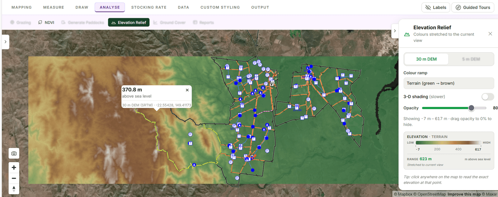
- Satellite Imagery & Land Analysis – Assess historical and seasonal changes in ground cover, vegetation (NDVI), elevation and land condition.
- Upgraded User Interface – Streamlined navigation, customisable map styling and saved layer preferences for an improved user experience.
- Enhanced Reporting & Map Exports – Generate detailed asset registers, summary tables, PDF maps, GeoPDFs, map books and GIS-compatible datasets.
With enhanced seasonal grazing modelling, expanded offline mobile capabilities and simpler paddock and infrastructure tools, the latest upgrade helps producers build a clearer picture of their properties and plan for change.
FarmMap4D brings together property maps, infrastructure information and spatial and satellite data. Producers can use it to assess livestock access to water, estimate stocking capacity and review changes in ground cover and vegetation over time.
Being part of AxisStream places FarmMap4D within a broader platform that provides weather monitoring and forecasting, cropping and livestock management. Producers can access property mapping alongside other information and tools relevant to their operation, helping them consider land, infrastructure and seasonal conditions together when making decisions. With applications and modules selected to suit each operation, this provides scope to build on their mapping capability as needs evolve.
Understand water access across the seasons
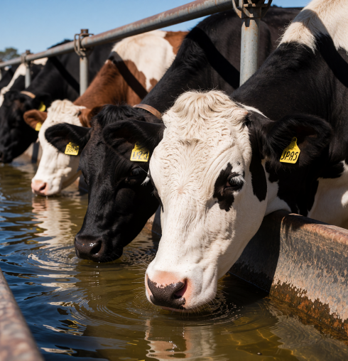
Water availability influences where livestock graze and how much of a paddock they can access. That availability can change considerably throughout the year, particularly where properties rely on seasonal water points.
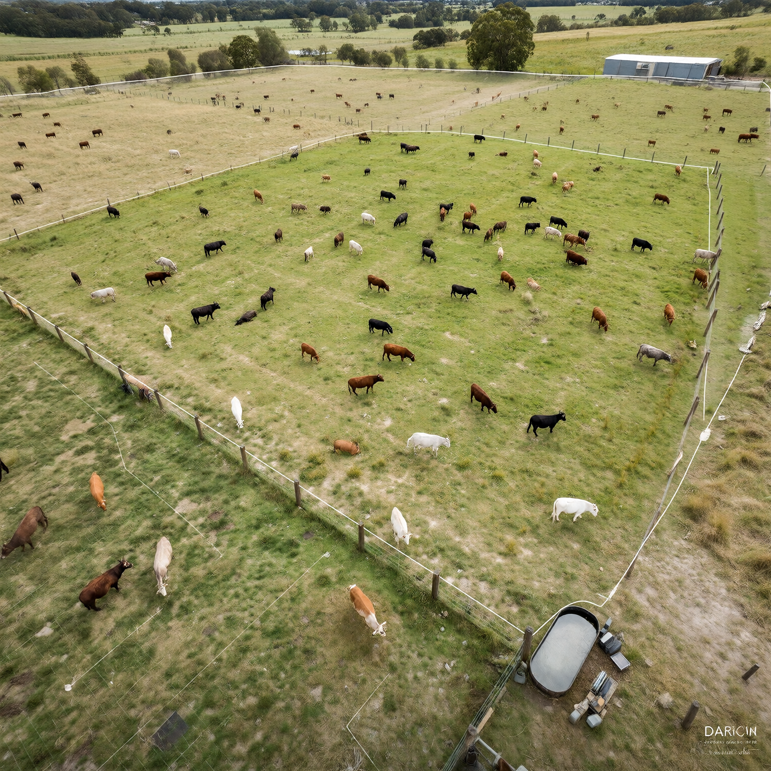
The upgraded Grazing Circles tool includes a 12-month model to help producers explore those changes. It highlights seasonal gaps in water access, temporary water points running dry and paddocks without water.
Grazing Circles considers water point locations and fences as barriers to livestock movement, showing which areas fall within selected distances of accessible water. Precise gate placement helps the model reflect access between paddocks.
The seasonal view gives producers more information to assess grazing arrangements, compare water access across paddocks and explore where additional infrastructure could make a difference.
Bring water access into stocking decisions
FarmMap4D also includes a Long Term Carrying Capacity Calculator, which uses paddock size, land type and access to water to estimate the livestock capacity of an area.
Producers can compare scenarios to explore how a new water point, changes to grazing access or property development may affect those estimates. Used alongside the enhanced seasonal grazing model, this supports more informed discussions about infrastructure investment and grazing management.
Take mapping tools into the paddock
The upgraded FarmMap4D mobile app works offline, allowing users to access practical tools while working beyond mobile coverage.
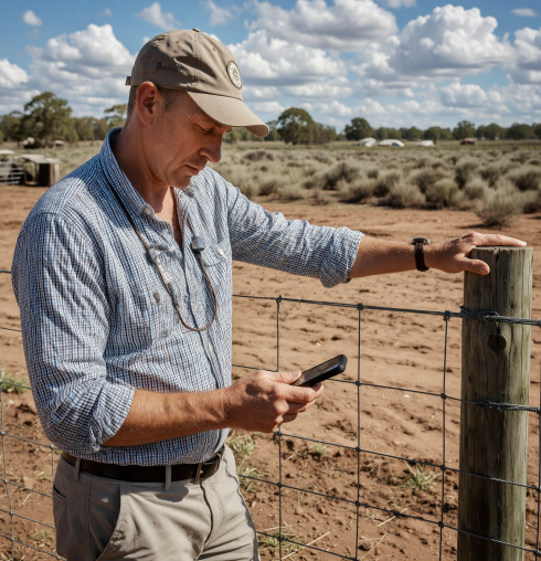
Users can view their live GPS location, navigate between points, measure distances and areas and record tracks around the property. Photos and observations can also be logged against their geographic location.
Whether checking a fence, recording an infrastructure issue or finding a water point, staff can capture information where the work happens and keep it connected to the property map.
Create and update paddocks more easily
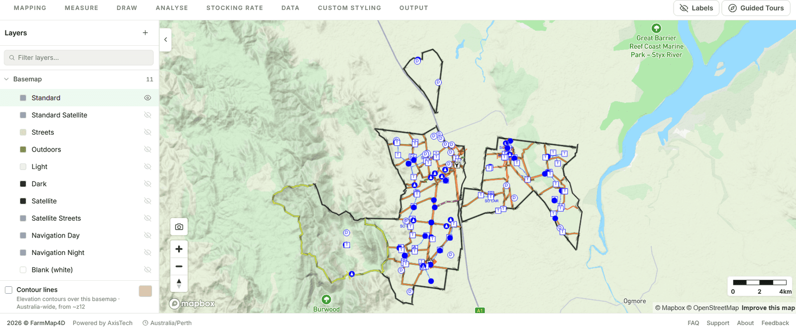
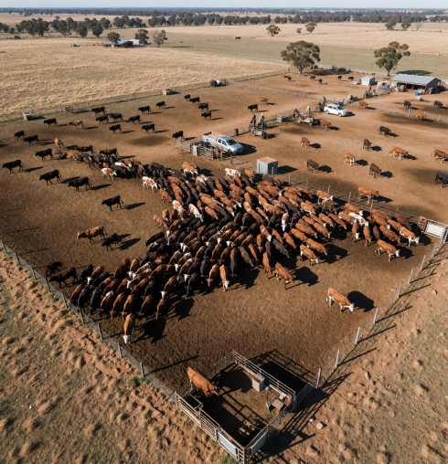
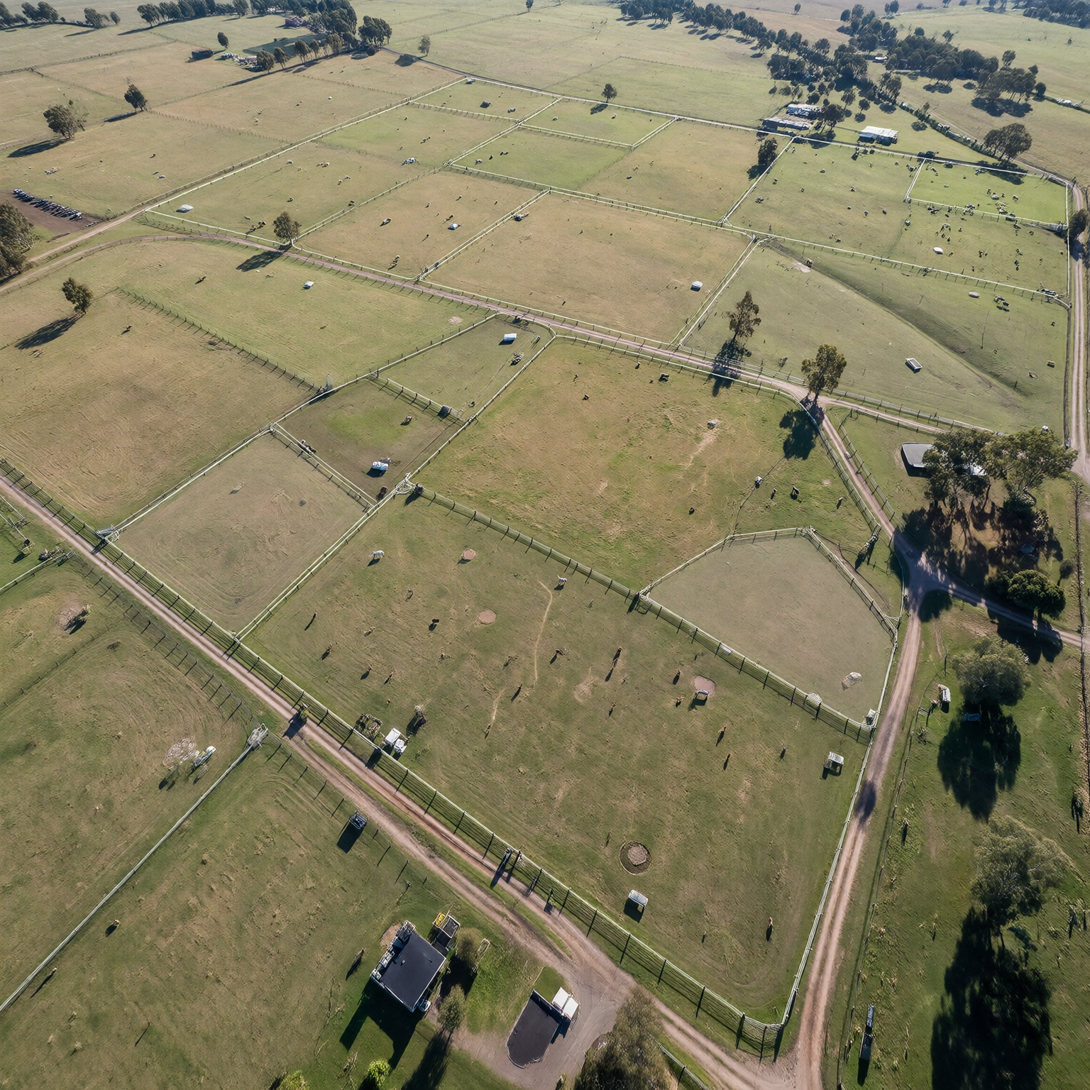
A useful property map needs to reflect what is on the ground. FarmMap4D allows producers to map paddocks, fences, water points, yards, laneways, roads and buildings, with options to import existing mapping and GPS files.
The latest upgrade makes paddock creation and editing simpler. A step-by-step wizard guides users through paddock generation, supported by automatic recognition of new paddocks. Users can also create paddocks from existing land type fencelines or merge existing blocks.
These improvements reduce manual work when updating property layouts or exploring proposed changes.
Plan infrastructure using existing property information
New bulk controls make it easier to manage gates and water points across the property. Existing infrastructure can also be copied into unlimited project plans, giving producers a starting point for considering future work.
This supports planning for new fencing, additional water infrastructure or changes to paddock layouts using information already recorded in FarmMap4D.
Review land condition over time
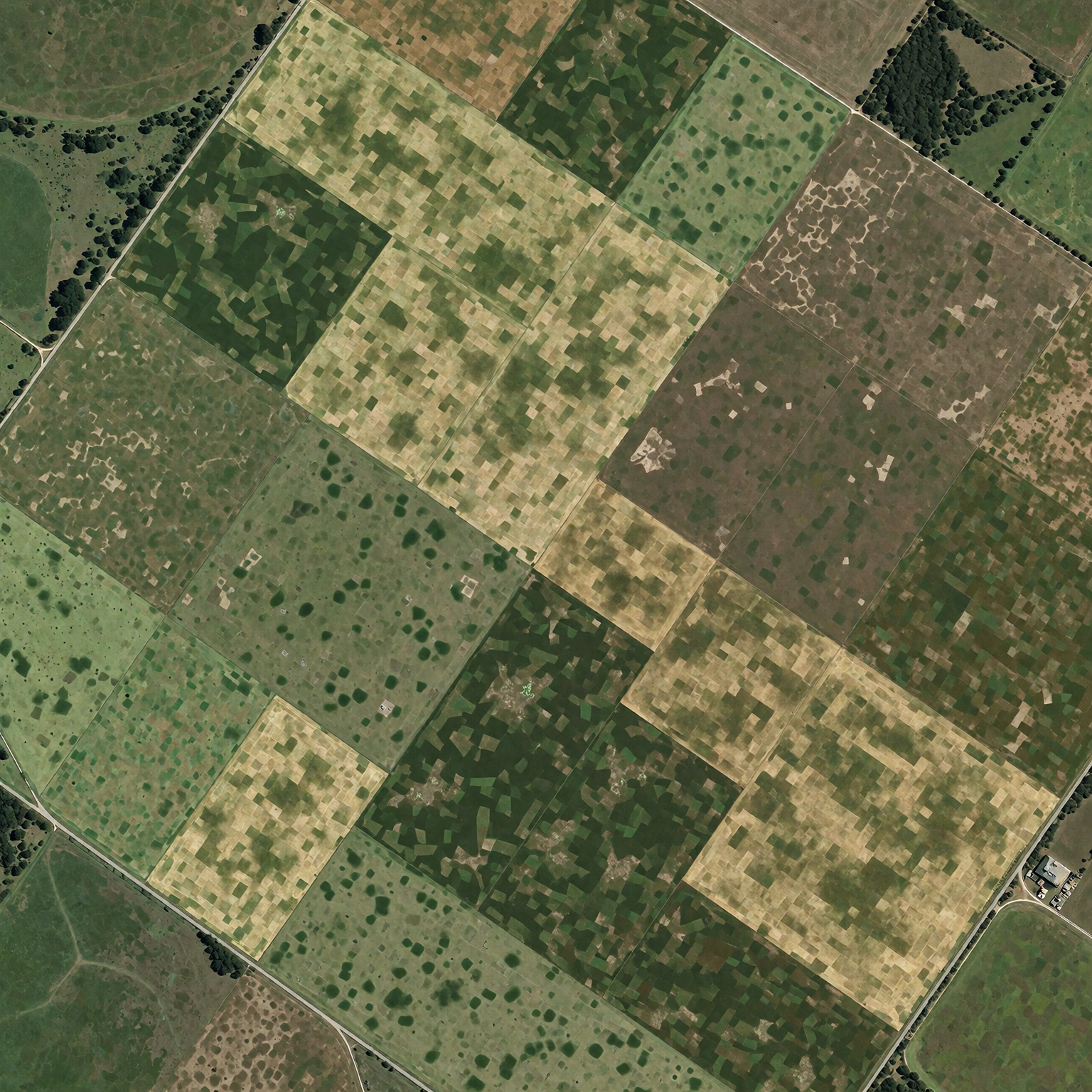
Alongside its mapping and planning tools, FarmMap4D provides access to satellite-derived information to help producers understand changes across their land.
Available information may include ground cover, vegetation indices such as NDVI, elevation and vegetation trends. Comparing this information across seasons and years can help identify areas that warrant closer inspection and provide context for management decisions.
Work with clearer maps and more flexible reports
A redesigned interface makes FarmMap4D easier to work with, while customisable feature styling and saved layer preferences allow users to focus on the information they need.
Enhanced asset reporting and flexible map outputs support both operational planning and management reviews. Depending on the subscription and tools available, outputs include PDF maps, GeoPDFs, map books, summary tables and GIS-compatible datasets.
These can be shared with staff, contractors and advisers to support a common understanding of the property and planned work.
As the property mapping application within AxisStream, FarmMap4D combines detailed maps with tools to understand water access, assess land information and plan infrastructure. The latest upgrades extend that capability across the seasons and into the paddock.